Les Moulins du Roc de Gachone in Calvisson
On the heights of Calvisson, atop the Roc de Gachone, the highest point in the Vaunage region, four windmills were built in the 17th and 18th centuries, one of which was destroyed in 1838. The pointed windmill is known as the "Cassini signal", and was used as a landmark in the design of the map of France commissioned by Louis XIV in 1747.
The site offers a view of the singular and typical landscapes grouped together under the name of "Vaunage".
It is accessible by car or on foot via a signposted hiking trail.
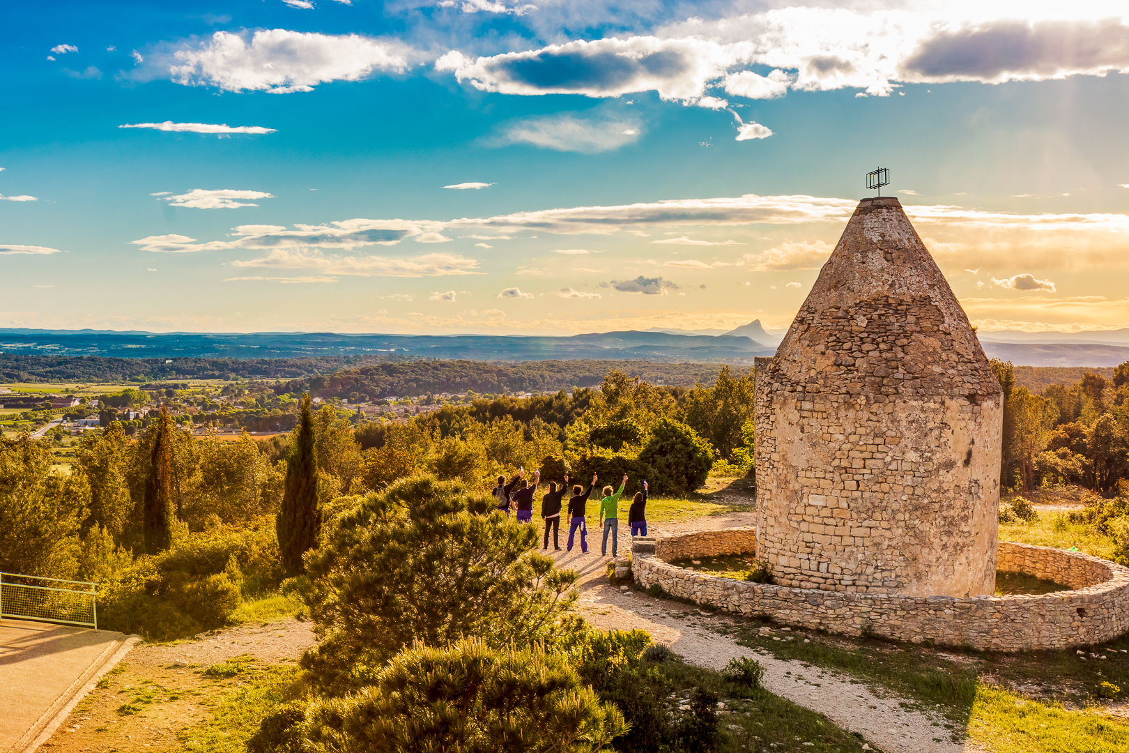
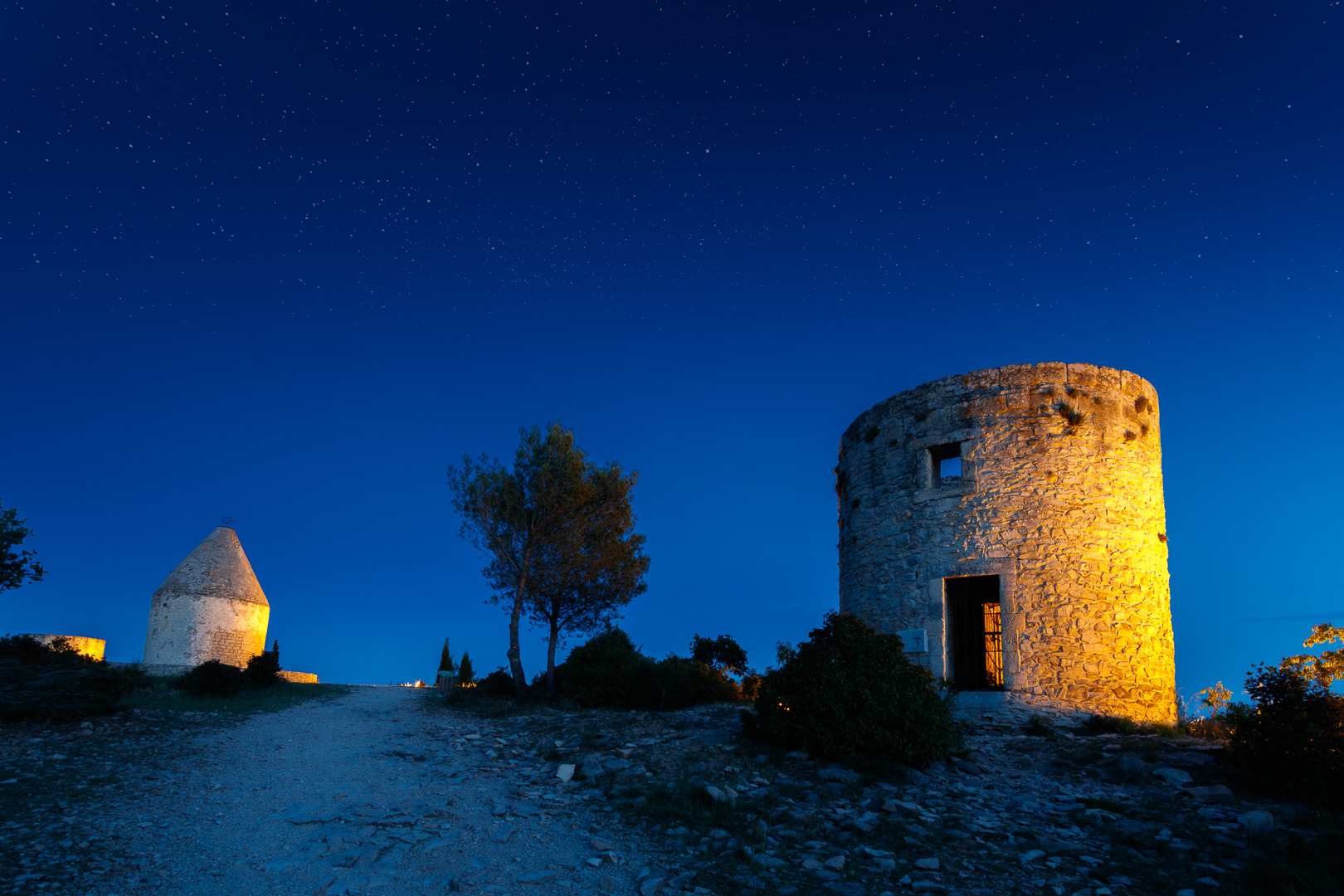
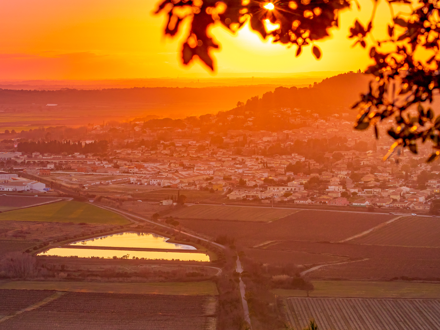
Les Moulins du Roc de Gachone in Calvisson
Route de la Louve
30420 Calvisson
30420 Calvisson
Means of communication
- Telephone : 04 66 80 99 30
- e-mail : accueil@ot-sommieres.fr
Open
All year round daily.
Parking available at the top of Roc de Gachone.
Animals accepted
yes
Services
- Pets welcome
Group tours
- Unguided group tours available permanently
Individual visits
- Unguided individual tours available permanently
Rates
Free access.
Spoken languages

Environment
- 30 - 40 min from a train station by bike
- 20 - 30 min from an SNCF station by electric bike
- 10 - 20 min from a train station by car
- 10 - 20 min walk to bus stop
- In the country
- Panoramic view
